Data Visualisation with the 'Oculus Rift' DK2 - オキュラス・リフトでビジュアライゼーション
オキュラス・リフトのようなVR技術はゲームやエンターテイメントだけではなく、データの可視化でもその効果を発揮する。


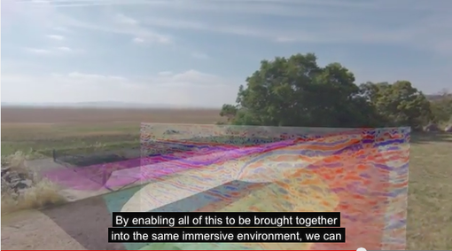
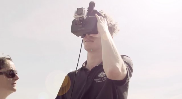

A short film describing the development of a prototype application for the Oculus Rift DK2 headset, to visualise subsurface geoscience data in situ.
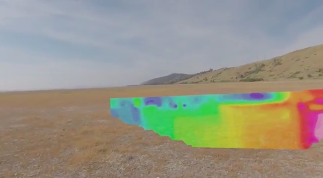
In this video, Visualisation and Science Promotion team members Michael de Hoog and Bobby Cerini visit Lake George in southern New South Wales, to demonstrate how the Oculus Rift is used to integrate views of subsurface resources data in situ with views of the landscape.
Different data layers are shown being switched on and off. The data are overlaid on the location within the landscape in which they were collected, including seismic line, volumes, gravity, magnetic and borehole data.
For more information about data visualisation at Geoscience Australia, please contact salescentre@ga.gov.au